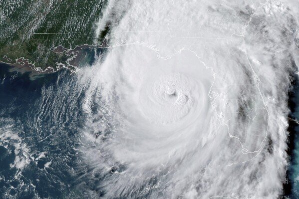
Flooding and the Aftermath of Helene
While central South Carolina was not hit as hard as some others, the Congaree River hit major flood stages around the West Columbia Riverwalk. The Congaree River finally crested at 30.58 ft (155,000 cfs) which is just short of the 31.8 ft in the historic “thousand year flood” of 2015.
Many routes and roads were shut down due to downed trees and flooding. The City of Cayce even began to urge people to evacuate the Riverland Park neighborhood. This neighborhood is notorious for flooding when there is extreme flooding on the Congaree River.
Flooding at the West Columbia Riverwalk begins at just 13 ft (about 36,000 cfs). It was shut down and completly under water.
Congaree National Park was closed due to most of their trails being flooded and entirely inaccesable.
In spite of all of this, some local whitewater kayakers decided to take advantage of the high water and go boating. Many will paddle Mill Race, the large rapid near the Saluda Riverwalk and above the Riverbanks Zoo. Normally this is a class III rapid, but the waves and holes get jucier when there are elevated water levels. However, it’s important to practice safe boating and know your limitations.
We continued with our Congaree National Park canoe tours when possible, but offered many guests rescheduling options. Paddling through eleveated creek levels unlocks different parts of the park that are normally not accessible. Although high water events and bad storms also bring downed trees which can block creek access once the water recedes.
Since then, a lot of the flooding has gone down, including the flooding in Congaree National Park. Consistently dropping water will reveal any possible devastation underneath and the power of water.


